Morris MapForge
Professional custom-designed maps tailored to your specific needs using Geographic Information Systems (GIS) technology. Whether you need maps for land management, hunting properties, shooting ranges, outdoor recreation, property planning, or visual storytelling, I gather and organize geospatial data to produce clear, accurate, and visually appealing maps. Each map is designed to highlight the features that matter most to you, helping you better understand terrain, boundaries, points of interest, and other important details.
Our StoryFirst off, thank you for visiting our webpage. You are likely among the first of many people who will come here looking for custom maps.I am the founder of Morris MapForge custom maps. I am a medically retired U.S. Army Soldier with 13 years of experience as a Senior Geospatial Engineer and GIS Analyst. Throughout my military career, I worked across multiple levels of operations—from tactical units on the ground to operational and strategic headquarters—developing geospatial products that supported mission planning and decision-making.During that time, I created thousands of maps ranging from city-scale products to country and continent-level geographic analysis.I also spent time serving as a Senior GIS Analyst in Special Operations, where precision, accuracy, and reliability were critical. The geospatial products I developed helped operators analyze terrain, understand their environment, and navigate complex operational areas.Those experiences reinforced something important: a well-designed map can turn complex information into something clear, visual, and easy to understand.Throughout my career, I have come to recognize that Geographic Information Systems (GIS) and maps play a critical role in our everyday lives. Whether you are using GPS to navigate from one location to another, checking the weather, or ordering food, GIS is working behind the scenes to make those tasks possible.In today’s world, we rely heavily on applications and digital devices to access this technology. However, those tools are not always reliable. There are times when service is unavailable, signals are lost, or systems are temporarily down. In those moments, the convenience of modern technology quickly disappears.That is why traditional, hard-copy maps remain essential. During my time in the Army, particularly in operational environments, digital tools were often limited or entirely unavailable due to security restrictions, connectivity issues, or mission requirements. As a result, we relied on physical maps to navigate, plan, and execute operations effectively.Maps are not just a backup—they are a fundamental tool. They provide a dependable, always-available source of geographic understanding when technology fails. Without them, navigation becomes uncertain and decision-making is compromised.Simply put, without maps, we would be lost—literally.What We DoAt Morris MapForge, we specialize in developing custom maps designed around your specific needs and vision.Our goal is simple — to bring our customers’ visualizations to life through professional mapping and geographic analysis.Whether you need a map for planning, land management, navigation, or display, every project is built using professional GIS tools and techniques.We create custom maps for:Hunting clubsShooting rangesPrivate property and land managementNeighborhoods and communitiesRecreational and outdoor areasOrganizations and specialized mapping needsWhile we primarily focus on high-quality digital and printable maps, we also have the capability to develop web maps, dashboards, and interactive GIS applications.Our MissionOur mission is simple:To transform geographic data into clear, professional maps that help people better understand their land, property, and environment.At Morris MapForge, we believe every map should serve a purpose. Whether you're managing land, planning a project, or visualizing a space, we work with you to turn your ideas into detailed, professional maps that bring your vision to life.
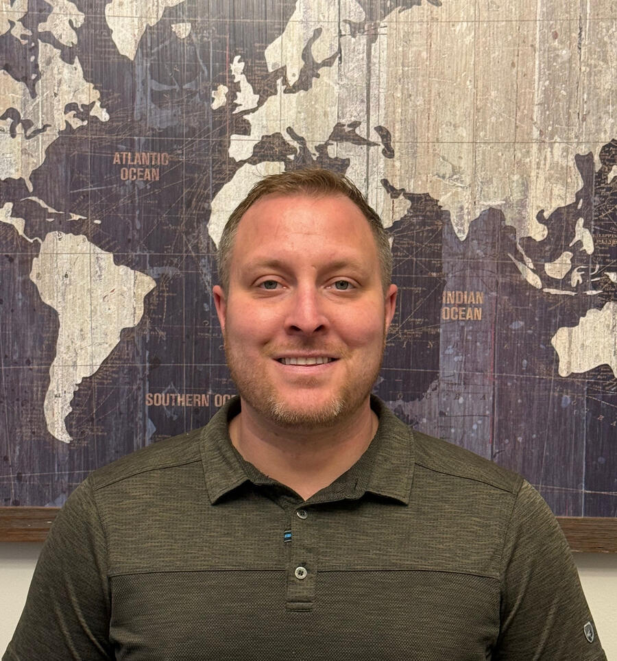
Bio
My name is David Morris, and I am the founder of this custom mapping service. I was born and raised in Atlanta, Georgia, and in 2010 I joined the United States Army to serve my country during a time of need. Throughout my military career, I served as a Geospatial Intelligence Analyst (GEOINT), specializing in the use of Geographic Information Systems (GIS) to analyze terrain, create maps, and support mission planning.Like many people entering the Army, I did not fully understand what geospatial intelligence meant when I first enlisted but over the years it became a career and skill set I am extremely proud of. I spent 13 years in the Army, including time serving as a Drill Sergeant, where I trained and mentored soldiers and helped develop the next generation of leaders.The final five years of my career were spent supporting special operations, where geospatial intelligence plays a critical role in mission planning, navigation, and decision-making. During that time I produced detailed maps and spatial analysis used to support complex operations around the world.Today, I am a medically retired veteran, but my passion for mapping and spatial analysis never left me. After leaving the military, I decided to continue working in the field I love by building a small freelance business focused on creating custom maps for individuals, organizations, and outdoor communities.Many people don’t realize how much GIS technology influences everyday life from navigation apps and land management to hunting property planning and environmental analysis. My goal is to make professional-grade mapping accessible to people who can benefit from it the most.When I’m not working on maps, you’ll usually find me outdoors enjoying some of my favorite hobbies such as hiking, snowboarding, off-roading, and exploring new terrain which, naturally, often leads right back to maps.Thank you for supporting a veteran-owned small business. I look forward to helping bring your ideas to life through custom mapping.
Request Form


Coming Soon!!!
As a newly established business, my portfolio is still growing. Much of my past mapping work was completed within government systems during my Army career, and I was neither able to retain those products nor access them after leaving service. The examples shown here are more basic samples created to demonstrate foundational capabilities—my full project work typically involves a much higher level of detail, customization, and refinement. As this business and website continue to grow, I will be adding more examples to showcase the full range and quality of my mapping services.


What is GIS?GIS stands for Geographic Information Systems.
It is a technology used to collect, organize, analyze, and display data tied to locations on the Earth.GIS helps people understand the world through maps and spatial data. Governments, businesses, military organizations, and private clients all rely on GIS to make better decisions based on location.What Does a GIS Analyst Do?A GIS Analyst works with maps, location data, and spatial information to help answer real-world questions and support decision-making.A GIS professional collects, organizes, analyzes, and visualizes geographic information to reveal patterns and insights that are difficult to see otherwise.For example, a GIS analyst might:* Create custom maps* Analyze land, roads, property lines, terrain, or utilities* Combine data from GPS, satellite imagery, surveys, and databases* Identify patterns and relationships based on location